|
©The Archaeological Settlements of Turkey - TAY Project
|
|
|
|
|
|
Arpali 2 |
|
|
For site maps and drawings please click on the picture... 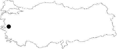 |
For photographs please click on the photo...  |
|
Type:
|
Mound |
|
Altitude:
|
100 m |
|
Region:
|
Aegean |
|
Province:
|
Manisa |
|
District:
|
Saruhanli |
|
Village:
|
Burhaniye |
|
Investigation Method:
|
Survey |
|
Period:
|
Late |
|
|
|
 |
|
| The twin mounds lie northeast of Manisa; east of Saruhanli; approximately 2 km south of Burhaniye (Arpali). The one at the north is 1 m height; 50 m in diameter; and the southern is 3 m height; 80 m in diameter. These two hills are being cultivated in the present. The site was discovered during the survey conducted by D.H. French. Black burnished; Kumtepe Ib type of sherds were recovered on the surface. There are also Late Neolithic [Harmankaya et al. 1997:Arpali II] and EBA finds in Arpali II. It was researched again by E. Akdeniz et al. in 2007 but only stone and chipped stone tools were collected on the surface [Akdeniz 2009:259]. |
| Location: This site is northeast of the city of Manisa and the town of Halitpasa. It lies 2 km south of the village of Burhaniye (Arpali); which used to be known as Arpali. It is possible to get to the mound via the Manisa-Akhisar highway. |
| Geography and Environment: There are two Arpali mounds lying side by side on a plain. The dimension of the northern mound is 50 m and its height is 1 m while the larger southern mound is 3 m high and has an 80 m diameter. Both mounds and the surrounding regions have been plowed and are currently under cultivation. There are no water sources nearby. |
| History: |
| Research and Excavation: |
| Stratigraphy: |
| Small Finds: |
| Remains: |
| Interpretation and Dating: |