| ©The Archaeological Settlements of Turkey - TAY Project | ||||||
|
|
||||||
Later / Elmakaya |
||||||
|
|
||||||
| Ages | Maps | Photos | ||||
| EBA |
 |
 |
||||
|
|
||||||
|
Type:
|
Mound | |||||
|
Altitude:
|
1825 m | |||||
|
Diameter:
|
m- Direction: | |||||
|
|
||||||
|
Region:
|
Eastern Anatolia | |||||
|
Province:
|
Mus | |||||
|
District:
|
Bulanik | |||||
|
Village:
|
Elmakaya | |||||
|
|
||||||
|
Destruction :
|
Illicit Digging - Agriculture - Attention | |||||
|
|
||||||
|
TAYEx:
|
Visited - 7/7/2003 | |||||
|
|
||||||
|
Registration State:
|
Registered For detailed registration information please refer to Turkish pages. | |||||
 |
||||||
| Location: |
| Geography and Environment: |
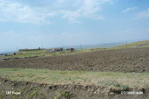
| Destruction Details: The settlement has been damaged due to intense agricultural activities and illicit diggings. Southeastern section is being used as a field and there are village houses on west-northwest slope. There are twenty pits on the mound; the biggest one of them measure 20x10 m [TAYEx 7.7.2003]. |