|
©The Archaeological Settlements of Turkey - TAY Project
|
|
|
|
|
|
Later / Elmakaya |
|
|
For site maps and drawings please click on the picture...  |
For photographs please click on the photo... 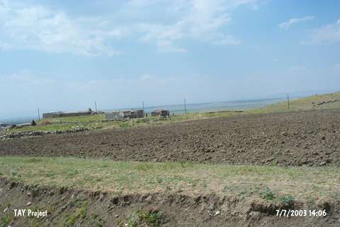 |
|
Type:
|
Mound |
|
Altitude:
|
1825 m |
|
Region:
|
Eastern Anatolia |
|
Province:
|
Mus |
|
District:
|
Bulanik |
|
Village:
|
Elmakaya |
|
Investigation Method:
|
Survey |
|
Period:
|
|
|
|
|
 |
|
| It lies 700 m east of Elmakaya (Later) Village; east-southeast of Bulanik District; northeast of Mus Province. To the south of it is the village cemetery. A survey team under M.S. Rothman investigated the vicinity of Bulanik during a survey conducted in the Mus Plain in 1991 and collected sherds dating from the Kura-Aras II-III from the surface. Rothman reports about a cemetery; period is unknown; and painted pottery coming out of that cemetery. Probably they are painted material of the second millennium BC. It takes place in the registered archaeological sites list prepared by Ministry of Culture and Tourism. It is documented during the survey carried out by Biber-Çavuşoğlu in 2009. This mound is 300 m in the West of İncesu Mound and it has an altitude of 1,695 m. The mound is circular, 150 m in diameter and approximately 20 m above the plain. Modern buildings that belong to the modern village exist on the slopes around the mound. Few pieces of pottery are found on the surface of the mound from EBA and MA [Biber-Çavuşoğlu 2011: 208]. |
| Location: |
| Geography and Environment: |
| History: |
| Research and Excavation: |
| Stratigraphy: |
| Small Finds: |
| Remains: |
| Interpretation and Dating: |