| ©The Archaeological Settlements of Turkey - TAY Project | ||||||
|
|
||||||
Araptepe |
||||||
|
|
||||||
| Ages | Maps | Photos | ||||
| Neolithic EBA |
 |
 |
||||
|
|
||||||
|
Type:
|
Mound | |||||
|
Altitude:
|
40 m | |||||
|
Diameter:
|
m- Direction: | |||||
|
|
||||||
|
Region:
|
Aegean | |||||
|
Province:
|
Izmir | |||||
|
District:
|
Aliaga | |||||
|
Village:
|
Helvaci | |||||
|
|
||||||
|
|
||||||
|
|
||||||
|
TAYEx:
|
Visited - 17/9/2000 | |||||
|
|
||||||
|
Registration State:
|
For detailed registration information please refer to Turkish pages. | |||||
 |
||||||
| Location: It lies north of the motorway running to Eski Foca; 13 km northwest of Menemen district; north of Izmir province. |
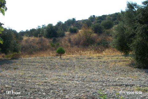
| Geography and Environment: The site lies in the Helvaci Plain and west of Helvaci village. It is in a location closer to the mountains and the slopes of the settlement are covered with olive trees. It is about 2 km west of the settlement of Helvaci Höyücek and 500-600 m north of Bekirler. |
| Destruction Details: |