|
©The Archaeological Settlements of Turkey - TAY Project
|
|
|
|
|
|
Araptepe |
|
|
For site maps and drawings please click on the picture...  |
For photographs please click on the photo... 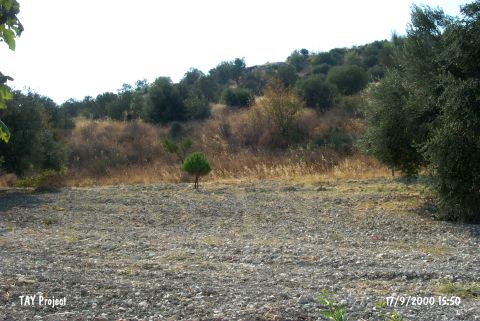 |
|
Type:
|
Mound |
|
Altitude:
|
40 m |
|
Region:
|
Aegean |
|
Province:
|
Izmir |
|
District:
|
Aliaga |
|
Village:
|
Helvaci |
|
Investigation Method:
|
Survey |
|
Period:
|
EBA II |
|
|
|
 |
|
| It lies north of the motorway running to Old Foca; 13 km northwest of Menemen District; north of Izmir Province. The site lies in the Helvaci Plain and west of Helvaci Village. It is in a location closer to the mountains and the slopes of the settlement are covered with olive trees. It is about 2 km west of the settlement of Helvaci Höyücek and 500-600 m north of Bekirler. It was discovered by a team under the direction of Muzaffer Senyürek during a regional survey of the Höyücek excavations in 1944. The site was investigated again in 2001 by C. Lichter during the surveys related to the Panaztepe excavations. Flint tools and sherds of the gray; black; brown and red washed ware were collected from the surface. The collected material is reported to be contemporary with Troy II and partly Troy I. |
| Location: It lies north of the motorway running to Eski Foca; 13 km northwest of Menemen district; north of Izmir province. |
| Geography and Environment: The site lies in the Helvaci Plain and west of Helvaci village. It is in a location closer to the mountains and the slopes of the settlement are covered with olive trees. It is about 2 km west of the settlement of Helvaci Höyücek and 500-600 m north of Bekirler. |
| History: |
| Research and Excavation: |
| Stratigraphy: |
| Small Finds: |
| Remains: |
| Interpretation and Dating: |