| ©The Archaeological Settlements of Turkey - TAY Project | ||||||
|
|
||||||
Arapören |
||||||
|
|
||||||
| Ages | Maps | Photos | ||||
| EBA |
 |
 |
||||
|
|
||||||
|
Type:
|
Mound | |||||
|
Altitude:
|
880 m | |||||
|
Diameter:
|
92 m- Direction: | |||||
|
|
||||||
|
Region:
|
Central Anatolia | |||||
|
Province:
|
Eskisehir | |||||
|
District:
|
Seyitgazi | |||||
|
Village:
|
Dogançayir | |||||
|
|
||||||
|
Destruction :
|
Illicit Digging - Agriculture | |||||
|
|
||||||
|
TAYEx:
|
Visited - 23/6/2002 | |||||
|
|
||||||
|
Registration State:
|
Registered For detailed registration information please refer to Turkish pages. | |||||
 |
||||||
| Location: |
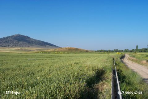
| Geography and Environment: |
| Destruction Details: The site is being destructed by agricultural activities. There are several pits on the mound. One of them is at the southwest part of the top hill; measuring 8 m in diameter and 1 m in depth; an other one at the same direction close to skirt and has 2.1 m diameter; 3.2 m depth and the last one measuring 10 m in diameter; 1 m in depth is on northwest slope of the mound [TAYEx 23.6.2002]. |