|
©The Archaeological Settlements of Turkey - TAY Project
|
|
|
|
|
|
Arapören |
|
|
For site maps and drawings please click on the picture...  |
For photographs please click on the photo... 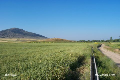 |
|
Type:
|
Mound |
|
Altitude:
|
880 m |
|
Region:
|
Central Anatolia |
|
Province:
|
Eskisehir |
|
District:
|
Seyitgazi |
|
Village:
|
Dogançayir |
|
Investigation Method:
|
Survey |
|
Period:
|
EBA II EBA III |
|
|
|
 |
|
| It lies 300 m southeast of the Seyitsuyu Stream; 2.8 km northeast of Dogançayir (Arapören) Village; southeast of Eskisehir. Kirgiz Mountain can be seen southeast of the mound. It was discovered in 1994 during a survey conducted in Kütahya; Bilecik and Eskisehir by T. Efe. It measures 160 m in diameter and 8 m in height. Materials of the EBA II-III and the second millennium BC were collected from the surface. It takes place in the registered archaeological sites list prepared by Ministry of Culture and Tourism. |
| Location: |
| Geography and Environment: |
| History: |
| Research and Excavation: |
| Stratigraphy: |
| Small Finds: |
| Remains: |
| Interpretation and Dating: |