| ©The Archaeological Settlements of Turkey - TAY Project | ||||||
|
|
||||||
Kurban Höyük |
||||||
|
|
||||||
| Ages | Maps | Photos | ||||
| Chalcolithic EBA |
 |
 |
||||
|
|
||||||
|
Type:
|
Mound | |||||
|
Altitude:
|
418 m | |||||
|
Diameter:
|
m- Direction: | |||||
|
|
||||||
|
Region:
|
Southeastern Anatolia | |||||
|
Province:
|
Sanliurfa | |||||
|
District:
|
Bozova | |||||
|
Village:
|
Çinarli | |||||
|
|
||||||
|
Destruction :
|
Dams | |||||
|
|
||||||
|
TAYEx:
|
Not visited - 29/8/2001 | |||||
|
|
||||||
|
Registration State:
|
Registered For detailed registration information please refer to Turkish pages. | |||||
 |
||||||
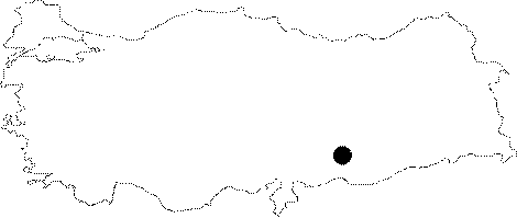
| Location: The site used to lie on the south bank of Euphrates; 2 km west of the village of Cümcüme connected to Bozova District of the city of Urfa; previous to its inundation by Atatürk Dam Reservoir. It was 60 km north-northwest of the city of Urfa and 15 km from the district of Bozova. The location code is U 50 / 7. |
| Geography and Environment: Kurban Höyük is founded upon a low; 1.5 km wide terrace on the south bank of Euphrates and is surrounded by a higher terrace at the south. It is discovered that the first settlement of Kurban Höyük lies beside a natural water spring; at the edge of the alluvial plain of a valley that cuts one of the higher terraces. The mound has two low cones. The higher one on the south is 9-10 m high from the plain level and measures 250x180 m. The latter on the north is 4 m high and measures 170x120 m. Both mounds; in total; cover an area of approximately 6 hectares (250 m in east-west and 300 m in north-south direction). 3000 m2 of the mound is excavated and virgin soil is reached in three of the trenches [Algaze 1990c:4-5]. |
| Destruction Details: The site is flooded by dam reservoir today [TAYEx 29.8.2001]. |