| ©The Archaeological Settlements of Turkey - TAY Project | ||||||
|
|
||||||
Köyiçi Tepesi |
||||||
|
|
||||||
| Ages | Maps | Photos | ||||
| EBA IA |
 |
 |
||||
|
|
||||||
|
Type:
|
Mound | |||||
|
Altitude:
|
885 m | |||||
|
Diameter:
|
230 m- Direction: W-E | |||||
|
|
||||||
|
Region:
|
Black Sea | |||||
|
Province:
|
Samsun | |||||
|
District:
|
Ladik | |||||
|
Village:
|
Mazlumoglu | |||||
|
|
||||||
|
Destruction :
|
Natural causes - Agriculture - Attention | |||||
|
|
||||||
|
TAYEx:
|
Visited - 29/8/2003 | |||||
|
|
||||||
|
Registration State:
|
Registered For detailed registration information please refer to Turkish pages. | |||||
 |
||||||
| Location: |
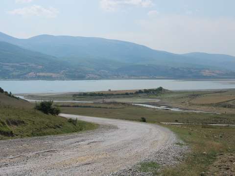
| Geography and Environment: |
| Destruction Details: The surface of the settlement is being cultivated. Traces of illicit diggings was observed. The mound is being damaged by the overflows of the Ladik Lake for 20 years [TAYEx 29.8.2003]. |