|
©The Archaeological Settlements of Turkey - TAY Project
|
|
|
|
|
|
Köyiçi Tepesi |
|
|
For site maps and drawings please click on the picture...  |
For photographs please click on the photo... 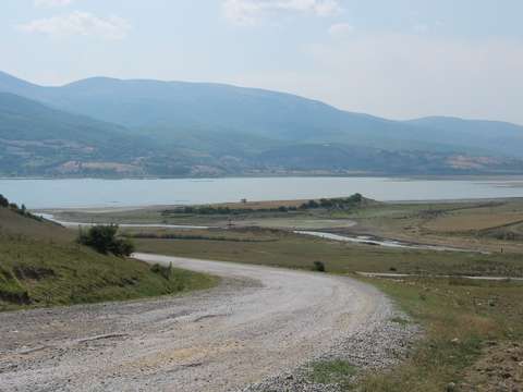 |
|
Type:
|
Mound |
|
Altitude:
|
885 m |
|
Region:
|
Black Sea |
|
Province:
|
Samsun |
|
District:
|
Ladik |
|
Village:
|
Mazlumoglu |
|
Investigation Method:
|
Survey |
|
Period:
|
|
|
|
|
 |
|
| It lies abut 1.2 km northwest of the village of Mazlumoglu; east of the district of Ladik in the province of Samsun. It is to the north-northeast of the Ladik Lake; southwest of Mazlumoglu-Ladik road and east-southeast of the village of Kiranbogaz. In 2002; during the survey conducted by M. Özsait; EBA; 2nd millennium BC; Phrygian; Roman and Middle Age materials were encountered. It takes place in the registered archaeological sites list prepared by Ministry of Culture and Tourism. |
| Location: |
| Geography and Environment: |
| History: |
| Research and Excavation: |
| Stratigraphy: |
| Small Finds: |
| Remains: |
| Interpretation and Dating: |