| ©The Archaeological Settlements of Turkey - TAY Project | ||||||
|
|
||||||
Köprüören |
||||||
|
|
||||||
| Ages | Maps | Photos | ||||
| EBA |
 |
 |
||||
|
|
||||||
|
Type:
|
Mound | |||||
|
Altitude:
|
1050 m | |||||
|
Diameter:
|
230 m- Direction: E-W | |||||
|
|
||||||
|
Region:
|
Aegean | |||||
|
Province:
|
Kütahya | |||||
|
District:
|
Merkez | |||||
|
Village:
|
Köprüören | |||||
|
|
||||||
|
Destruction :
|
Agriculture - Contemporary Settlements | |||||
|
|
||||||
|
TAYEx:
|
Visited - 3/7/2004 | |||||
|
|
||||||
|
Registration State:
|
Registered For detailed registration information please refer to Turkish pages. | |||||
 |
||||||
| Location: |
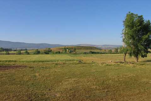
| Geography and Environment: |
| Destruction Details: The mound has been damaged due to agricultural activities. A water reservoir was built on the northern skirt and the water channel that joins this reservoir was constructed by digging the mound. On the upper part are the remains of a rectangular stone structure or a pool [TAYEx 3.7.2004]. |