|
©The Archaeological Settlements of Turkey - TAY Project
|
|
|
|
|
|
Köprüören |
|
|
For site maps and drawings please click on the picture...  |
For photographs please click on the photo... 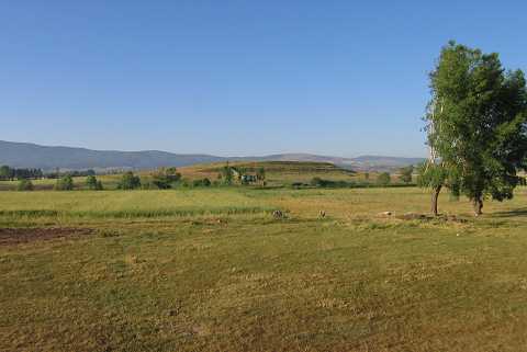 |
|
Type:
|
Mound |
|
Altitude:
|
1050 m |
|
Region:
|
Aegean |
|
Province:
|
Kütahya |
|
District:
|
Merkez |
|
Village:
|
Köprüören |
|
Investigation Method:
|
Survey |
|
Period:
|
|
|
|
|
 |
|
| It lies 1 km southwest of Köprüören Village; northeast of Kütahya Province. To the north of the mound passes the Kütahya-Tavsanli motorway. It was discovered by J. Mellaart. It measures 11 m in height and ca. 200 m in diameter. Material of the second millennium BC is dense on the surface. Limited number of EBA material was collected by T. Efe in 1988. It takes place in the registered archaeological sites list prepared by Ministry of Culture and Tourism. |
| Location: |
| Geography and Environment: |
| History: |
| Research and Excavation: |
| Stratigraphy: |
| Small Finds: |
| Remains: |
| Interpretation and Dating: |