| ©The Archaeological Settlements of Turkey - TAY Project | ||||||
|
|
||||||
Kocagöz / Demirci Höyük |
||||||
|
|
||||||
| Ages | Maps | Photos | ||||
| EBA |
 |
 |
||||
|
|
||||||
|
Type:
|
Mound | |||||
|
Altitude:
|
145 m | |||||
|
Diameter:
|
m- Direction: | |||||
|
|
||||||
|
Region:
|
Black Sea | |||||
|
Province:
|
Sinop | |||||
|
District:
|
Merkez | |||||
|
Village:
|
Demirci | |||||
|
|
||||||
|
Destruction :
|
Agriculture | |||||
|
|
||||||
|
TAYEx:
|
Visited - 14/9/2003 | |||||
|
|
||||||
|
Registration State:
|
Registered For detailed registration information please refer to Turkish pages. | |||||
 |
||||||
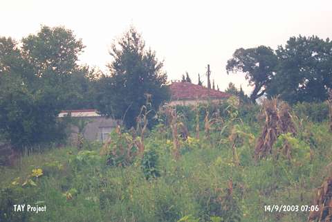
| Location: Also known as Demircihöyük; it lies 2 km south of Sinop-Gerze motorway; next to the Demirci Village; some 13 km south of the Sinop Province [Budde 1956:9]. |
| Geography and Environment: Measuring 160x70 m in dimensions; southeastern part of the mound is obscured by the village houses. It also has been damaged by State Dispensing Units to build a water tank. The mound is located on the eastern part of a plain having valleys on both sides. |
| Destruction Details: There are fields that are being cultivated on and around the hill. Its eastern slope has been damaged due to contemporary settlements and agricultural activities. The south-southwestern slope was cut during the construction of a road and the cultural layers have become visible in these section [TAYEx 14.9.2000]. |