| ©The Archaeological Settlements of Turkey - TAY Project | ||||||
|
|
||||||
Killigin Magarasi |
||||||
|
|
||||||
| Ages | Maps | Photos | ||||
| Palaeolithic/Epipalaeolithic |
 |
 |
||||
|
|
||||||
|
Type:
|
Cave | |||||
|
Altitude:
|
2000 m | |||||
|
Diameter:
|
m- Direction: | |||||
|
|
||||||
|
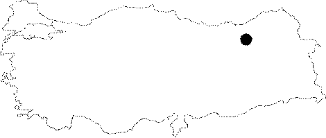
Region:
|
Black Sea | |||||
|
Province:
|
Bayburt | |||||
|
District:
|
Merkez | |||||
|
Village:
|
Erenli | |||||
|
|
||||||
|
|
||||||
|
|
||||||
|
TAYEx:
|
Visited - 26/6/2003 | |||||
|
|
||||||
|
Registration State:
|
For detailed registration information please refer to Turkish pages. | |||||
 |
||||||
| Location: This cave-site is 3.5 km; as the crow flies; from the city of Bayburt; 2.1 km northeast of the village of Erenli (Duduzar). |
| Geography and Environment: The cave is located on the southwestern side of the Killigin Ridge; which is at an altitude of 1;191 m at its highest point. Rainwater has eroded this massive ridge. The entrance of the cave; carved out by water; faces south. The cave is 9.2 m deep and 1.9 m high inside while the entrance is 1.71 m high and 6.45 m wide at the base. |
| Destruction Details: |