| ©The Archaeological Settlements of Turkey - TAY Project | ||||||
|
|
||||||
Kirmizi Ok Tarlasi |
||||||
|
|
||||||
| Ages | Maps | Photos | ||||
| Chalcolithic |
 |
 |
||||
|
|
||||||
|
Type:
|
Mound | |||||
|
Altitude:
|
460 m | |||||
|
Diameter:
|
m- Direction: | |||||
|
|
||||||
|
Region:
|
Southeastern Anatolia | |||||
|
Province:
|
Gaziantep | |||||
|
District:
|
Karkamis | |||||
|
Village:
|
Kelekli | |||||
|
|
||||||
|
Destruction :
|
Agriculture - Attention | |||||
|
|
||||||
|
TAYEx:
|
Visited - 16/8/2001 | |||||
|
|
||||||
|
Registration State:
|
For detailed registration information please refer to Turkish pages. | |||||
 |
||||||
| Location: |
| Geography and Environment: |
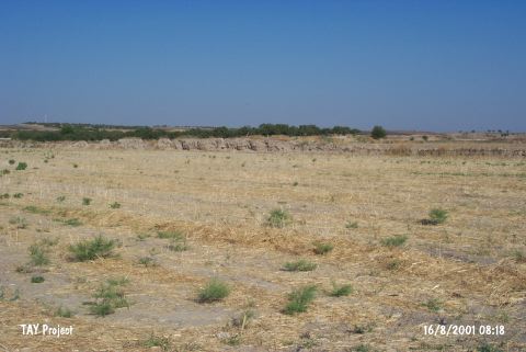
| Destruction Details: The area that the mound once lied has been leveled and there is a section left as field border in east-west direction with a height of 1.5 meters. This remain may belong to a Byzantine Period settlement; the fact that Kirmizi Ok Tarlasi Chalcolithic Age settlement has not been found by some researchers strengthens the probability of the mound is flooded [TAYEx 16.8.2001]. |