|
©The Archaeological Settlements of Turkey - TAY Project
|
|
|
|
|
|
Kirmizi Ok Tarlasi |
|
|
For site maps and drawings please click on the picture...  |
For photographs please click on the photo... 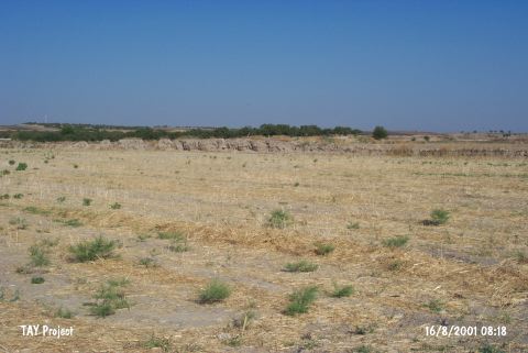 |
|
Type:
|
Mound |
|
Altitude:
|
460 m |
|
Region:
|
Southeastern Anatolia |
|
Province:
|
Gaziantep |
|
District:
|
Karkamis |
|
Village:
|
Kelekli |
|
Investigation Method:
|
Survey |
|
Period:
|
Late |
|
|
|
 |
|
| The mound is located east-southeast of Gaziantep and of Nizip district; and 1.8 km north-northeast of Kelekli (Sara) village. From the surface of the low and flat mound measuring 90x80 m with a height of 2 m; grit-tempered pithos rimsherds and plates belonging to Uruk Period are collected during the Tigris-Euphrates Archaeological Reconnaissance Survey Project conducted by G. Algaze. The Uruk Period settlement extends over an area of 0.5 hectares. The mound will be inundated by the Kargamis Dam; soon. Sherds from Hellenistic and Late Roman Period are; as well; collected. |
| Location: |
| Geography and Environment: |
| History: |
| Research and Excavation: |
| Stratigraphy: |
| Small Finds: |
| Remains: |
| Interpretation and Dating: |