| ©The Archaeological Settlements of Turkey - TAY Project | ||||||
|
|
||||||
Kinik |
||||||
|
|
||||||
| Ages | Maps | Photos | ||||
| Chalcolithic EBA IA |
 |
 |
||||
|
|
||||||
|
Type:
|
Slope Settlement | |||||
|
Altitude:
|
1070 m | |||||
|
Diameter:
|
m- Direction: | |||||
|
|
||||||
|
Region:
|
Black Sea | |||||
|
Province:
|
Kastamonu | |||||
|
District:
|
Devrekani | |||||
|
Village:
|
Kinik | |||||
|
|
||||||
|
Destruction :
|
Illicit Digging - Attention | |||||
|
|
||||||
|
TAYEx:
|
Visited - 23/9/2003 | |||||
|
|
||||||
|
Registration State:
|
Registered For detailed registration information please refer to Turkish pages. | |||||
 |
||||||
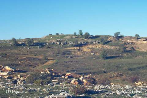
| Location: It is located on Delibeyoglu Ridge in the territory of the Kulaksizlar Dam; northwest of Kinik Village; 10 km northeast of Devrakani District and Kastamonu Province. |
| Geography and Environment: |
| Destruction Details: To the east of the settlement; outside the area that was taken under protection after the archaeological excavations; were observed pits of illicit diggings [TAYEx 23.9.2003]. |