| ©The Archaeological Settlements of Turkey - TAY Project | ||||||
|
|
||||||
Kiran Gölü |
||||||
|
|
||||||
| Ages | Maps | Photos | ||||
| Greek-Roman |
 |
 |
||||
|
|
||||||
|
Type:
|
Sanctuary | |||||
|
Altitude:
|
m | |||||
|
Diameter:
|
m- Direction: | |||||
|
|
||||||
|
Region:
|
Aegean | |||||
|
Province:
|
Mugla | |||||
|
District:
|
Marmaris | |||||
|
Village:
|
Taslica | |||||
|
|
||||||
|
|
||||||
|
|
||||||
|
TAYEx:
|
- | |||||
|
|
||||||
|
Registration State:
|
For detailed registration information please refer to Turkish pages. | |||||
 |
||||||
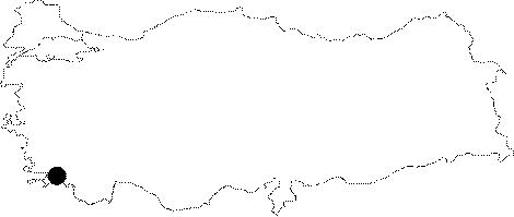
| Location: It is located within the borders of the Taslica Village on the southern end of the Bozburun Peninsula of the Marmaris District of the Mugla Province. It lies to the north of the ancient city of Loryma. It is not accessible by car [Saner-Kuban 2000:287; Kuban-Saner 2002:203]. |
| Geography and Environment: |
| Destruction Details: |