| ©The Archaeological Settlements of Turkey - TAY Project | ||||||
|
|
||||||
Kaunos / Kbid |
||||||
|
|
||||||
| Ages | Maps | Photos | ||||
| IA Greek-Roman |
 |
 |
||||
|
|
||||||
|
Type:
|
City | |||||
|
Altitude:
|
m | |||||
|
Diameter:
|
m- Direction: | |||||
|
|
||||||
|
Region:
|
Aegean | |||||
|
Province:
|
Mugla | |||||
|
District:
|
Ortaca | |||||
|
Village:
|
Dalyan | |||||
|
|
||||||
|
|
||||||
|
|
||||||
|
TAYEx:
|
- | |||||
|
|
||||||
|
Registration State:
|
For detailed registration information please refer to Turkish pages. | |||||
 |
||||||
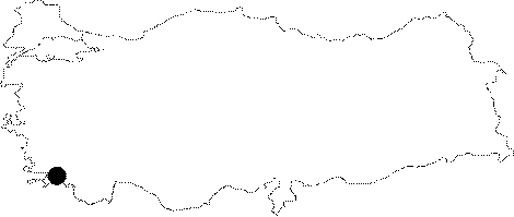
| Location: It is located in the Town of Dalyan to the west of the Ortaca District of the Mugla Province. At present; it is 3.22 km away from the sea [Bean 2000:174]. The asphalt road strecthing towards the southwest, diverting from the main road 7 km after Köycegiz on the Mugla-Fethiye motorway provides access to the village of Dalyan. The road is 17 km long from the junction to the village. The Dalyan Village is located on the eastern bank of the Dalyan Brook (Calbis), which discharges the waters of the Köycegiz Lake into the Mediterrenean coast while the ruins of Caunus are situated on the opposite bank [Umar 1999:308]. |
| Geography and Environment: Used to be a port city; Caunos lost this feature along with the formation of the Dalyan delta. To the north and west is surrounded by the Ölemez (Imbros) Mountain. Investigations revealed that the 150 km Köycegiz Basin was formed during the Late Pleistocene. The Lake of Köycegiz measures around 5200 hectares; and it is rated as the second largest lake of Caria after the Lake of Bafa. Supplied by many brooks; it is 1 m high from the sea level; with its deepest point over 70 m. The lake drains its water to the sea via the Dalyan Brook [Ogün et al. 2001:2-3]. |
| Destruction Details: |