| ©The Archaeological Settlements of Turkey - TAY Project | ||||||
|
|
||||||
Idyma |
||||||
|
|
||||||
| Ages | Maps | Photos | ||||
| Greek-Roman |
 |
 |
||||
|
|
||||||
|
Type:
|
City | |||||
|
Altitude:
|
m | |||||
|
Diameter:
|
m- Direction: | |||||
|
|
||||||
|
Region:
|
Aegean | |||||
|
Province:
|
Mugla | |||||
|
District:
|
Ula | |||||
|
Village:
|
Kozlukuyu | |||||
|
|
||||||
|
|
||||||
|
|
||||||
|
TAYEx:
|
- | |||||
|
|
||||||
|
Registration State:
|
Registered For detailed registration information please refer to Turkish pages. | |||||
 |
||||||
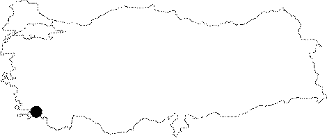
| Location: It is located within the borders of the Kozlukuyu Village to the south of the Mugla Province [Bean-Cook 1957:68]. |
| Geography and Environment: As there is no large river spilling into the Gulf of Gökova (Keramos); there is no much alluvial deposits. In the Ancient Period; the ships were anchoring somewhere at the northeastern corner of the gulf; however today they use the port; 1 km to the west. With a mountaineous northern shore; a 7-8 km long and 3 km wide fertile plain stretches inland behind this gulf. The sources between the sea and Kozulukuyu on the northern edge of this plain feed the Kadin River. The plain ends up with a range of lower hills on the east. Idyma is located 300 m above the Kozlu Kuyu Village [Bean-Cook 1957:68-69; 72]. |
| Destruction Details: |