| ©The Archaeological Settlements of Turkey - TAY Project | ||||||
|
|
||||||
Adada |
||||||
|
|
||||||
| Ages | Maps | Photos | ||||
| Greek-Roman |
 |
 |
||||
|
|
||||||
|
Type:
|
City | |||||
|
Altitude:
|
1200 m | |||||
|
Diameter:
|
m- Direction: | |||||
|
|
||||||
|
Region:
|
Mediterranean | |||||
|
Province:
|
Isparta | |||||
|
District:
|
Sütçüler | |||||
|
Village:
|
Sagrak | |||||
|
|
||||||
|
|
||||||
|
|
||||||
|
TAYEx:
|
- | |||||
|
|
||||||
|
Registration State:
|
Registered For detailed registration information please refer to Turkish pages. | |||||
 |
||||||
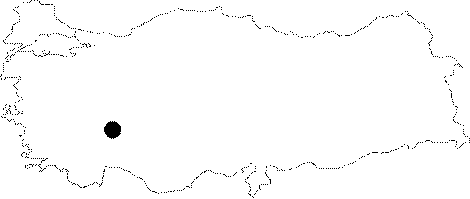
| Location: It lies 2 km west of the Sagrak Village; north of the Sutculer District; southeast of the Isparta Province. Situated to the southeast of the Lake Kovada; it is at the 50th km of the Egirdir - Sutculer motorway. |
| Geography and Environment: The Karabavlu upland of the Toros Mountains; where the ancient city of Adada is located at; is surrounded by hills covered with juniper and pine trees. |
| Destruction Details: |