| ©The Archaeological Settlements of Turkey - TAY Project | ||||||
|
|
||||||
Karahöyük |
||||||
|
|
||||||
| Ages | Maps | Photos | ||||
| EBA |
 |
 |
||||
|
|
||||||
|
Type:
|
Mound | |||||
|
Altitude:
|
895 m | |||||
|
Diameter:
|
m- Direction: | |||||
|
|
||||||
|
Region:
|
Mediterranean | |||||
|
Province:
|
Denizli | |||||
|
District:
|
Acipayam | |||||
|
Village:
|
Karahöyük | |||||
|
|
||||||
|
Destruction :
|
Other - Highways, roads, bridges etc. - Attention | |||||
|
|
||||||
|
TAYEx:
|
Visited - 21/7/2004 | |||||
|
|
||||||
|
Registration State:
|
Registered For detailed registration information please refer to Turkish pages. | |||||
 |
||||||
| Location: |
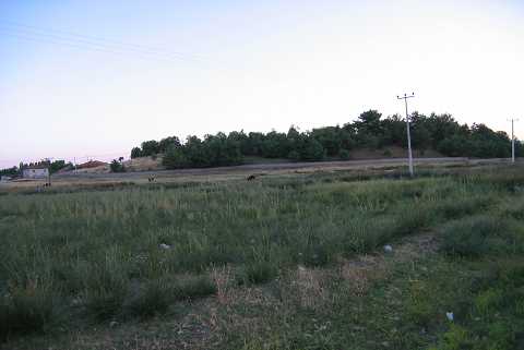
| Geography and Environment: |
| Destruction Details: The surface of the mound is being used as a cemetery. Its western slope has been cut by a road [TAYEx 21.7.2004]. |