|
©The Archaeological Settlements of Turkey - TAY Project
|
|
|
|
|
|
Karahöyük |
|
|
For site maps and drawings please click on the picture...  |
For photographs please click on the photo... 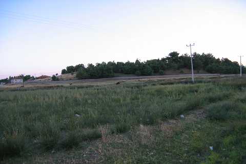 |
|
Type:
|
Mound |
|
Altitude:
|
895 m |
|
Region:
|
Mediterranean |
|
Province:
|
Denizli |
|
District:
|
Acipayam |
|
Village:
|
Karahöyük |
|
Investigation Method:
|
Survey |
|
Period:
|
EBA II |
|
|
|
 |
|
| It is located in Karahöyük Village; 42 km southeast of Denizli Province. It can be reached through the Burdur exit on the Denizli-Acipayam highway. It lies about 10 km northeast of Acipayam District; next to the stream in the middle of the Acipayam or Acibadem Plain. It is one of the major mounds of the plain. It is now occupied as a cemetery. It measures some 500-600 m in diameter and 15-18 m in height. To prevent any confusion with other Karahöyük mounds; it is called Denizli Karahöyük. J. Mellaart evaluated it as an EBA II settlement. However; it is indicated by Güngör that no EBA pottery was collected from the surface; but settlements of the Phrygian/Hellenistic; Roman and Byzantine Periods have been attested. It takes place in the registered archaeological sites list prepared by Ministry of Culture and Tourism. It appears in the Denizli Culture Inventory which was achieved after the surveys organized by the DenizliProvince Culture and Tourism Directorship in 2011. During the researches on the mound, marble inscriptions, reliefs and architectural features were encountered and the finds points out the existence of an ancient city. In the ancient literature, Karahöyük was shown in the Phrygia Region and named as Themissonion. |
| Location: |
| Geography and Environment: |
| History: |
| Research and Excavation: |
| Stratigraphy: |
| Small Finds: |
| Remains: |
| Interpretation and Dating: |