| ©The Archaeological Settlements of Turkey - TAY Project | ||||||
|
|
||||||
Karadin |
||||||
|
|
||||||
| Ages | Maps | Photos | ||||
| EBA |
 |
 |
||||
|
|
||||||
|
Type:
|
Mound | |||||
|
Altitude:
|
290 m | |||||
|
Diameter:
|
m- Direction: | |||||
|
|
||||||
|
Region:
|
Marmara | |||||
|
Province:
|
Bursa | |||||
|
District:
|
Iznik | |||||
|
Village:
|
Karadin | |||||
|
|
||||||
|
Destruction :
|
Agriculture | |||||
|
|
||||||
|
TAYEx:
|
Visited - 17/7/2000 | |||||
|
|
||||||
|
Registration State:
|
Registered For detailed registration information please refer to Turkish pages. | |||||
 |
||||||
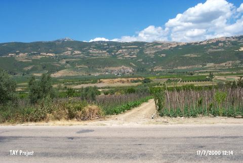
| Location: |
| Geography and Environment: |
| Destruction Details: The skirts of the mound have been cut to make fields [TAYEx 17.7.2000]. It was revisited during the Iznik Survey by M. Sahin et al. in 2006 and was found that the site was subjected to illicit diggings [Sahin et al. 2008:13]. |