|
©The Archaeological Settlements of Turkey - TAY Project
|
|
|
|
|
|
Karadin |
|
|
For site maps and drawings please click on the picture...  |
For photographs please click on the photo... 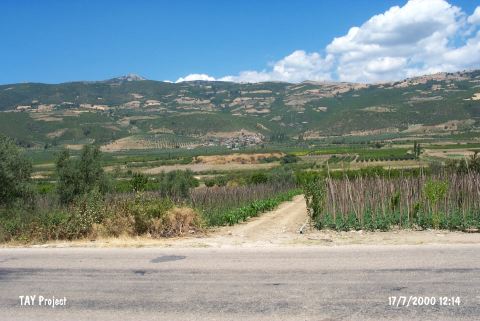 |
|
Type:
|
Mound |
|
Altitude:
|
290 m |
|
Region:
|
Marmara |
|
Province:
|
Bursa |
|
District:
|
Iznik |
|
Village:
|
Karadin |
|
Investigation Method:
|
Survey |
|
Period:
|
EBA II EBA III |
|
|
|
 |
|
| It lies about 1 km north of the road running from Iznik to Geyve; 1 km southeast of Karadin (Karatekin) Village; east of Iznik District; Bursa Province. The mound is locally known as Hisartepe. It was discovered in 1948 by J. Mellaart; and also investigated by J. Mellaart; C.A. Burney; D.H. French and M. Özdogan. It measures 150x8 m. Materials of the EBA and the second millennium BC were collected from the surface. Majority of the pottery collected is known as black burnished ware of Demirciköy and called black or black rimmed Yenisehir ware by D.H. French. Forms of flat bowls are common. Also found are the red washed; burnished; thin washed ware as well as the gray washed ware. It is a significant settlement as it was located on the road accessing to the East. It takes place in the registered archaeological sites list prepared by Ministry of Culture and Tourism. |
| Location: |
| Geography and Environment: |
| History: |
| Research and Excavation: |
| Stratigraphy: |
| Small Finds: |
| Remains: |
| Interpretation and Dating: |