| ©The Archaeological Settlements of Turkey - TAY Project | ||||||
|
|
||||||
Almali Yakini |
||||||
|
|
||||||
| Ages | Maps | Photos | ||||
| Palaeolithic/Epipalaeolithic |
 |
 |
||||
|
|
||||||
|
Type:
|
Habitation Site / Workshop | |||||
|
Altitude:
|
770 m | |||||
|
Diameter:
|
m- Direction: | |||||
|
|
||||||
|
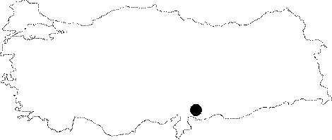
Region:
|
Southeastern Anatolia | |||||
|
Province:
|
Gaziantep | |||||
|
District:
|
Merkez | |||||
|
Village:
|
Almali | |||||
|
|
||||||
|
Destruction :
|
Agriculture | |||||
|
|
||||||
|
TAYEx:
|
Visited - 22/8/2001 | |||||
|
|
||||||
|
Registration State:
|
For detailed registration information please refer to Turkish pages. | |||||
 |
||||||
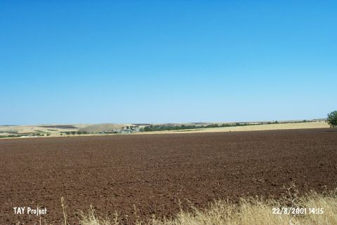
| Location: This site lies 19 km south of the city of Gaziantep; immediately east of the Gaziantep-Kilis highway; in the orchards between the villages of Bostancik and Almali (also called Elmali). It is named Almali Yakini; literally; the region near Almali because of its close proximity to the Almali Höyük Mound. |
| Geography and Environment: The geographic and geological positioning of the site and the artifact densities of the surface finds remain unreported. |
| Destruction Details: The site is being destructed due to agricultural activities [TAYEx 22.8.2001]. |