|
©The Archaeological Settlements of Turkey - TAY Project
|
|
|
|
|
|
Almali Yakini |
|
|
For site maps and drawings please click on the picture...  |
For photographs please click on the photo... 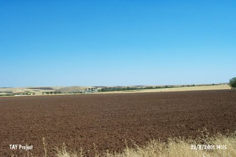 |
|
Type:
|
Habitation Site / Workshop |
|
Altitude:
|
770 m |
|
Region:
|
Southeastern Anatolia |
|
Province:
|
Gaziantep |
|
District:
|
Merkez |
|
Village:
|
Almali |
|
Investigation Method:
|
Survey |
|
Period:
|
OP |
|
|
|
 |
|
| Location: This site lies 19 km south of the city of Gaziantep; immediately east of the Gaziantep-Kilis highway; in the orchards between the villages of Bostancik and Almali (also called Elmali). It is named Almali Yakini; literally; the region near Almali because of its close proximity to the Almali Höyük Mound. |
| Geography and Environment: The geographic and geological positioning of the site and the artifact densities of the surface finds remain unreported. |
| History: |
| Research and Excavation: In his 1961 survey of the Gaziantep region; Perrot discovered this open air site in the orchards by Almali Höyük [Perrot 1962:fig.5]. |
| Stratigraphy: |
| Small Finds: Among the artifacts Perrot found are large and medium sized flakes; an egg-shaped bifaced handaxe and a chopper. These finds are currently at the Gaziantep Museum. Perrot reports that this is an important Moustérien Middle Palaeolithic site. |
| Remains: |
| Interpretation and Dating: |