| ©The Archaeological Settlements of Turkey - TAY Project | ||||||
|
|
||||||
Adabag |
||||||
|
|
||||||
| Ages | Maps | Photos | ||||
| EBA IA |
 |
 |
||||
|
|
||||||
|
Type:
|
Mound | |||||
|
Altitude:
|
1060 m | |||||
|
Diameter:
|
160 m- Direction: NW-SE | |||||
|
|
||||||
|
Region:
|
Central Anatolia | |||||
|
Province:
|
Konya | |||||
|
District:
|
Eregli | |||||
|
Village:
|
Adabag | |||||
|
|
||||||
|
Destruction :
|
Contemporary Settlements - Highways, roads, bridges etc. | |||||
|
|
||||||
|
TAYEx:
|
Visited - 11/8/2002 | |||||
|
|
||||||
|
Registration State:
|
Registered For detailed registration information please refer to Turkish pages. | |||||
 |
||||||
| Location: |
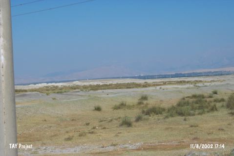
| Geography and Environment: |
| Destruction Details: Soil is taken form all sides of the mound. On the top; there are some small illicit dig pits [TAYEx 11.8.2002]. The northeast of the mound has been destroyed due to soil removal by a bulldozer [Maner 2017:8]. |