|
©The Archaeological Settlements of Turkey - TAY Project
|
|
|
|
|
|
Adabag |
|
|
For site maps and drawings please click on the picture...  |
For photographs please click on the photo... 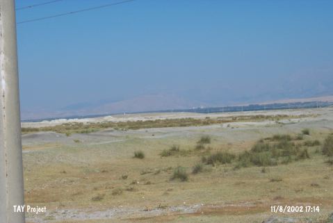 |
|
Type:
|
Mound |
|
Altitude:
|
1060 m |
|
Region:
|
Central Anatolia |
|
Province:
|
Konya |
|
District:
|
Eregli |
|
Village:
|
Adabag |
|
Investigation Method:
|
Survey |
|
Period:
|
|
|
|
|
 |
|
| The shallow mound lies on the north of Adabag village in Eregli district of Konya province; nearly 2 km far from the village. One can get to the mound by passing a bridge on north of the village and then turning to the east. It was examined during the survey conducted by Ç. Maner and her team in 2014. It measures 150x150 and 5 m high. The road passing from the north divides the mound. Potsherds dating to EBA, MBA, LBA, IA, Roman and Byzantine periods were found [Maner 2017:8]. It takes place in the registered archaeological sites list prepared by Ministry of Culture and Tourism. |
| Location: |
| Geography and Environment: |
| History: |
| Research and Excavation: |
| Stratigraphy: |
| Small Finds: |
| Remains: |
| Interpretation and Dating: |