| ©The Archaeological Settlements of Turkey - TAY Project | ||||||
|
|
||||||
Kalecik / Kalayciktepe |
||||||
|
|
||||||
| Ages | Maps | Photos | ||||
| EBA |
 |
 |
||||
|
|
||||||
|
Type:
|
Mound | |||||
|
Altitude:
|
782 m | |||||
|
Diameter:
|
m- Direction: | |||||
|
|
||||||
|
Region:
|
Eastern Anatolia | |||||
|
Province:
|
Tunceli | |||||
|
District:
|
Çemisgezek | |||||
|
Village:
|
Akçapinar | |||||
|
|
||||||
|
Destruction :
|
Dams | |||||
|
|
||||||
|
TAYEx:
|
Not visited - 15/7/2003 | |||||
|
|
||||||
|
Registration State:
|
For detailed registration information please refer to Turkish pages. | |||||
 |
||||||
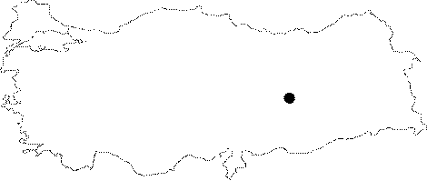
| Location: It was located in Akçapinar (Vaskovan) Village; on the eastern bank of the Karasu Stream forming the Euphrates together with the Murat Suyu; southwest of the Tunceli Province. It was totally submerged by the Keban Dam. It is referred to as Kalecik (Kalaycik) or Kalayciktepe in the archaeological literature. In order to prevent any confusion with Kalaycik located in the vicinity of the Elazig Province; it is called Kalecik Tepe Höyügü; and illustrated as Kayacik Tepe in the 1:100.000 maps. It is coded under N 52 /6. |
| Geography and Environment: It was an oval hill measuring 260x180 m in dimensions and ca. 32 m in height together with the conglomerate natural hill underneath. The slopes were stepped; and there were streams on both sides drying during the summer. It is supposed that the inhabitants used the Karasu Stream for supplying water. Russell reports the mound to measure 130x70x20-30 m [Russell 1984:260]. The bedrock was reached at 18-20 m during the excavation. |
| Destruction Details: The mound is flooded by dam reservoir [TAYEx 15.7.2003]. |