|
©The Archaeological Settlements of Turkey - TAY Project
|
|
|
|
|
|
Kalecik / Kalayciktepe |
|
|
For site maps and drawings please click on the picture... 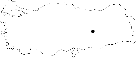 |
For photographs please click on the photo...  |
|
Type:
|
Mound |
|
Altitude:
|
782 m |
|
Region:
|
Eastern Anatolia |
|
Province:
|
Tunceli |
|
District:
|
Çemisgezek |
|
Village:
|
Akçapinar |
|
Investigation Method:
|
Excavation |
|
Period:
|
EBA III EBA I EBA II |
|
|
|
 |
|
| Location: It was located in Akçapinar (Vaskovan) Village; on the eastern bank of the Karasu Stream forming the Euphrates together with the Murat Suyu; southwest of the Tunceli Province. It was totally submerged by the Keban Dam. It is referred to as Kalecik (Kalaycik) or Kalayciktepe in the archaeological literature. In order to prevent any confusion with Kalaycik located in the vicinity of the Elazig Province; it is called Kalecik Tepe Höyügü; and illustrated as Kayacik Tepe in the 1:100.000 maps. It is coded under N 52 /6. |
| Geography and Environment: It was an oval hill measuring 260x180 m in dimensions and ca. 32 m in height together with the conglomerate natural hill underneath. The slopes were stepped; and there were streams on both sides drying during the summer. It is supposed that the inhabitants used the Karasu Stream for supplying water. Russell reports the mound to measure 130x70x20-30 m [Russell 1984:260]. The bedrock was reached at 18-20 m during the excavation. |
| History: |
| Research and Excavation: It was discovered by R. Whallon and S. Kantman in 1969; and excavated by U. Serdaroglu in 1968-71 (1971 survey was concerned with the late period cemetery only) under the project of the Keban Dam. EBA levels were only reached on the first and second terrace trenches. Stratification was not exactly determined; but EBA I-III levels are present. |
| Stratigraphy: Surface collection revealed that the site had been inhabited from the Chalcolithic Age to the Islamic Period. However; excavations do not provide any information about the stratification of EBA. It is observed that the settlement of the first millennium BC damaged the settlement belonging to the last phase of EBA. |
| Small Finds: Architecture: No architectural remains were uncovered except the floors. Pottery: One of the stepped slope trenchs yielded sherds of straw-tempered burnished ware with red-black paste; handmade plain ware with straw tempered paste washed in buff and black; and handmade ware decorated in brown and red on a beige wash (painting decorated ware of the Elazig-Malatya Region) dated to the last phase of EBA by U. Serdaroglu at 17.70 m depth [Serdaroğlu 1969:186-188; Serdaroğlu 1972:10] while the second trench yielded handmade burnished ware with straw tempered paste at 15 m depth without relating to any architecture. |
| Remains: |
| Interpretation and Dating: Excavations of Kalaycik Höyügü didn't reveal any new information which will illuminate the EBA settlements of the region and its culture. |