| ©The Archaeological Settlements of Turkey - TAY Project | ||||||
|
|
||||||
Incirlik Mevkii |
||||||
|
|
||||||
| Ages | Maps | Photos | ||||
| EBA IA |
 |
 |
||||
|
|
||||||
|
Type:
|
Slope Settlement | |||||
|
Altitude:
|
112 m | |||||
|
Diameter:
|
m- Direction: | |||||
|
|
||||||
|
Region:
|
Marmara | |||||
|
Province:
|
Balikesir | |||||
|
District:
|
Merkez | |||||
|
Village:
|
Köylüköyü | |||||
|
|
||||||
|
Destruction :
|
Agriculture | |||||
|
|
||||||
|
TAYEx:
|
Visited - 28/6/2000 | |||||
|
|
||||||
|
Registration State:
|
For detailed registration information please refer to Turkish pages. | |||||
 |
||||||
| Location: |
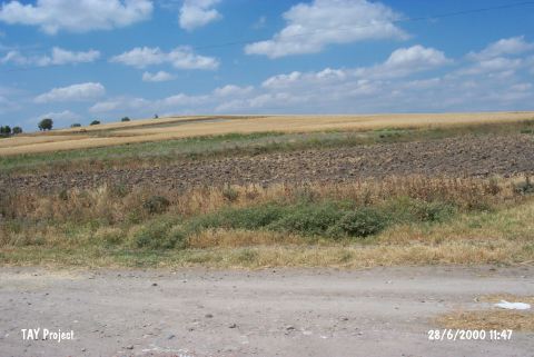
| Geography and Environment: |
| Destruction Details: The surface of the settlement is terraced and leveled. In addition; the houses of the village; which is expanding towards this area; are built very close to the site [TAYEx 28.6.2000]. |