|
©The Archaeological Settlements of Turkey - TAY Project
|
|
|
|
|
|
Incirlik Mevkii |
|
|
For site maps and drawings please click on the picture...  |
For photographs please click on the photo... 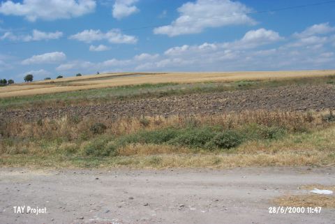 |
|
Type:
|
Slope Settlement |
|
Altitude:
|
112 m |
|
Region:
|
Marmara |
|
Province:
|
Balikesir |
|
District:
|
Merkez |
|
Village:
|
Köylüköyü |
|
Investigation Method:
|
Survey |
|
Period:
|
|
|
|
|
 |
|
| It lies north of the village of Köylüköy; east of Balikesir Province. There is a power plant to its east; and a chicken farm and village houses to west. It was discovered during the Balikesir Survey conducted by M. Özdogan in 1987. Materials varying from the EBA to the Antique and Middle Ages were collected from the surface. It has been rapidly demolishing due to partly constructions and partly terracing. Code K9/3. |
| Location: |
| Geography and Environment: |
| History: |
| Research and Excavation: |
| Stratigraphy: |
| Small Finds: |
| Remains: |
| Interpretation and Dating: |