| ©The Archaeological Settlements of Turkey - TAY Project | ||||||
|
|
||||||
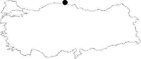
Inceburun |
||||||
|
|
||||||
| Ages | Maps | Photos | ||||
| Palaeolithic/Epipalaeolithic |
 |
 |
||||
|
|
||||||
|
Type:
|
Single Findspot | |||||
|
Altitude:
|
m | |||||
|
Diameter:
|
m- Direction: | |||||
|
|
||||||
|
Region:
|
Black Sea | |||||
|
Province:
|
Sinop | |||||
|
District:
|
Merkez | |||||
|
Village:
|
Sogucak | |||||
|
|
||||||
|
|
||||||
|
|
||||||
|
TAYEx:
|
Not visited - 10/9/2003 | |||||
|
|
||||||
|
Registration State:
|
For detailed registration information please refer to Turkish pages. | |||||
 |
||||||
| Location: This site lies southeast of the city of Sinop; north of the village of Sogukcak; near Mount Topdag; about 400-500 m west of the lighthouse. |
| Geography and Environment: The exact location of the site is not described in M.A. Isin's publication; although when asked Isin explained that the site was located on a sand dune similar to Gümüsdere or Agaçli. In the map accompanying the site report; however; the site does not appear to be right at the shore. During an investigation in 2006 (B. Dinçer) the exact location of the site is clearly described and made certain by consulting M.A. Isin. |
| Destruction Details: |