|
©The Archaeological Settlements of Turkey - TAY Project
|
|
|
|
|
|
Inceburun |
|
|
For site maps and drawings please click on the picture... 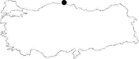 |
For photographs please click on the photo...  |
|
Type:
|
Single Findspot |
|
Altitude:
|
m |
|
Region:
|
Black Sea |
|
Province:
|
Sinop |
|
District:
|
Merkez |
|
Village:
|
Sogucak |
|
Investigation Method:
|
Survey |
|
Period:
|
ÜP |
|
|
|
 |
|
| Location: This site lies southeast of the city of Sinop; north of the village of Sogukcak; near Mount Topdag; about 400-500 m west of the lighthouse. |
| Geography and Environment: The exact location of the site is not described in M.A. Isin's publication; although when asked Isin explained that the site was located on a sand dune similar to Gümüsdere or Agaçli. In the map accompanying the site report; however; the site does not appear to be right at the shore. During an investigation in 2006 (B. Dinçer) the exact location of the site is clearly described and made certain by consulting M.A. Isin. |
| History: |
| Research and Excavation: The site was discovered by Mehmet Akif Isin during his survey of the archaeological sites in the Sinop province. |
| Stratigraphy: |
| Small Finds: In his caption below the map of the site; Isin indicates that the flint tools date to the Upper Palaeolithic period. It cannot be determined whether the site was a habitation area because we lack further information. The site needs to be viewed with scepticism until more is published. |
| Remains: |
| Interpretation and Dating: |