| ©The Archaeological Settlements of Turkey - TAY Project | ||||||
|
|
||||||
Ikizhöyük |
||||||
|
|
||||||
| Ages | Maps | Photos | ||||
| EBA |
 |
 |
||||
|
|
||||||
|
Type:
|
Mound | |||||
|
Altitude:
|
900 m | |||||
|
Diameter:
|
65 m- Direction: N-S | |||||
|
|
||||||
|
Region:
|
Aegean | |||||
|
Province:
|
Kütahya | |||||
|
District:
|
Merkez | |||||
|
Village:
|
Ikizhöyük | |||||
|
|
||||||
|
Destruction :
|
Illicit Digging - Attention | |||||
|
|
||||||
|
TAYEx:
|
Visited - 4/7/2004 | |||||
|
|
||||||
|
Registration State:
|
Registered For detailed registration information please refer to Turkish pages. | |||||
 |
||||||
| Location: |
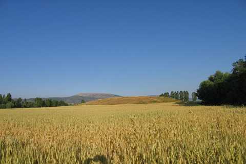
| Geography and Environment: |
| Destruction Details: An illicit pit measuring 4 m in diameter and 1.80 m in depth was observed on the top of the mound. older pits in various sizes were also seen on its slopes. Its west-southwestern skirt was cut by a dirt road [TAYEx 4.7.2004]. |