|
©The Archaeological Settlements of Turkey - TAY Project
|
|
|
|
|
|
Ikizhöyük |
|
|
For site maps and drawings please click on the picture...  |
For photographs please click on the photo... 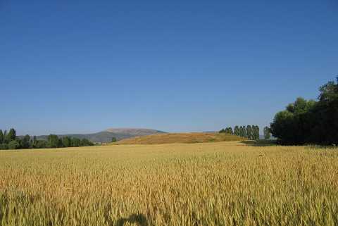 |
|
Type:
|
Mound |
|
Altitude:
|
900 m |
|
Region:
|
Aegean |
|
Province:
|
Kütahya |
|
District:
|
Merkez |
|
Village:
|
Ikizhöyük |
|
Investigation Method:
|
Survey |
|
Period:
|
EBA II EBA III |
|
|
|
 |
|
| It is located on the southern bank of the Porsuk River; east of the Kütahya Province. The village of Ikizhöyük lies to the northeast; on the other side of Porsuk. The mound is surrounded by fields. It measures 4 m in height and 55 m in diameter. During a survey conducted by T. Efe in 1992; materials of the EBA II and limited number of the EBA III were collected from the surface. For T. Efe; EBA II material bears some of the characteristics of both regional and Demircihöyük group on the north. It takes place in the registered archaeological sites list prepared by Ministry of Culture and Tourism. |
| Location: |
| Geography and Environment: |
| History: |
| Research and Excavation: |
| Stratigraphy: |
| Small Finds: |
| Remains: |
| Interpretation and Dating: |