| ©The Archaeological Settlements of Turkey - TAY Project | ||||||
|
|
||||||
Irgilli |
||||||
|
|
||||||
| Ages | Maps | Photos | ||||
| EBA |
 |
 |
||||
|
|
||||||
|
Type:
|
Mound | |||||
|
Altitude:
|
880 m | |||||
|
Diameter:
|
m- Direction: | |||||
|
|
||||||
|
Region:
|
Aegean | |||||
|
Province:
|
Denizli | |||||
|
District:
|
Çivril | |||||
|
Village:
|
Irgilli | |||||
|
|
||||||
|
Destruction :
|
Agriculture | |||||
|
|
||||||
|
TAYEx:
|
Visited - 15/7/2004 | |||||
|
|
||||||
|
Registration State:
|
For detailed registration information please refer to Turkish pages. | |||||
 |
||||||
| Location: |
| Geography and Environment: |
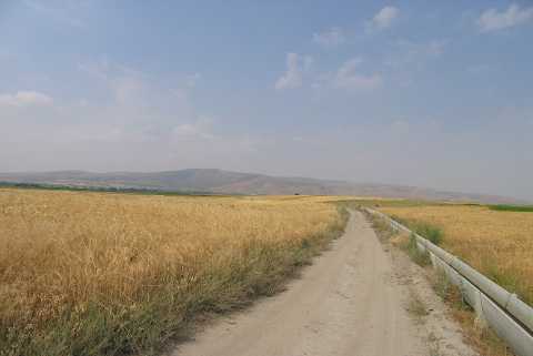
| Destruction Details: The surface of the settlement is being used for agricultural activities. The dirt road that runs between the mounds have cut their skirts [TAYEx 15.7.2004]. |