|
©The Archaeological Settlements of Turkey - TAY Project
|
|
|
|
|
|
Irgilli |
|
|
For site maps and drawings please click on the picture...  |
For photographs please click on the photo... 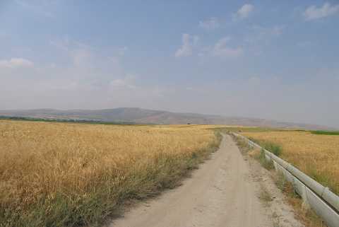 |
|
Type:
|
Mound |
|
Altitude:
|
880 m |
|
Region:
|
Aegean |
|
Province:
|
Denizli |
|
District:
|
Çivril |
|
Village:
|
Irgilli |
|
Investigation Method:
|
Survey |
|
Period:
|
|
|
|
|
 |
|
| It consists of two mounds located 3.2 and 3.7 km from the village of Irgilli; northeast of the village; southeast of the district of Çivril in the province of Denizli. This area with the two low and shallow hills is locally known as Ikizhöyükler Mevkii. |
| Location: |
| Geography and Environment: |
| History: |
| Research and Excavation: |
| Stratigraphy: |
| Small Finds: |
| Remains: |
| Interpretation and Dating: |