| ©The Archaeological Settlements of Turkey - TAY Project | ||||||
|
|
||||||
Inegöl 1 / Cumatepe |
||||||
|
|
||||||
| Ages | Maps | Photos | ||||
| EBA |
 |
 |
||||
|
|
||||||
|
Type:
|
Mound | |||||
|
Altitude:
|
345 m | |||||
|
Diameter:
|
m- Direction: | |||||
|
|
||||||
|
Region:
|
Marmara | |||||
|
Province:
|
Bursa | |||||
|
District:
|
Inegöl | |||||
|
Village:
|
Merkez | |||||
|
|
||||||
|
Destruction :
|
Contemporary Settlements - Attention | |||||
|
|
||||||
|
TAYEx:
|
Visited - 11/7/2000 | |||||
|
|
||||||
|
Registration State:
|
Registered For detailed registration information please refer to Turkish pages. | |||||
 |
||||||
| Location: |
| Geography and Environment: |
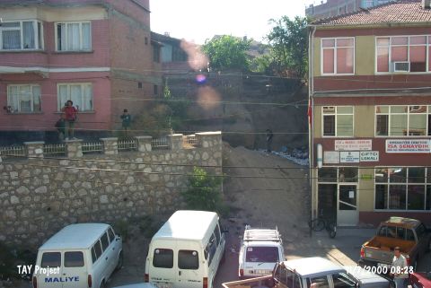
| Destruction Details: The mound is in the town center and has been severely damaged. It is surrounded by modern buildings. Houses have been built on it. The settlement looks like a garbage dump and about 1/3 of it has vanished [TAYEx 11.7.2000]. |