| ©The Archaeological Settlements of Turkey - TAY Project | ||||||
|
|
||||||
Alacapinar Tepe |
||||||
|
|
||||||
| Ages | Maps | Photos | ||||
| EBA IA |
 |
 |
||||
|
|
||||||
|
Type:
|
Mound | |||||
|
Altitude:
|
615 m | |||||
|
Diameter:
|
174 m- Direction: E-W | |||||
|
|
||||||
|
Region:
|
Black Sea | |||||
|
Province:
|
Amasya | |||||
|
District:
|
Merzifon | |||||
|
Village:
|
Hayrettin | |||||
|
|
||||||
|
Destruction :
|
Agriculture - Contemporary Settlements - Attention | |||||
|
|
||||||
|
TAYEx:
|
Visited - 19/8/2003 | |||||
|
|
||||||
|
Registration State:
|
For detailed registration information please refer to Turkish pages. | |||||
 |
||||||
| Location: |
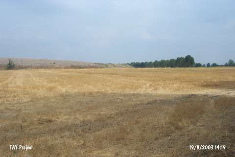
| Geography and Environment: |
| Destruction Details: The site has been damaged due to agricultural practices and contemporary settlements. On the top of it are three marble tombs [TAYEx 19.8.2003]. |