|
©The Archaeological Settlements of Turkey - TAY Project
|
|
|
|
|
|
Alacapinar Tepe |
|
|
For site maps and drawings please click on the picture...  |
For photographs please click on the photo... 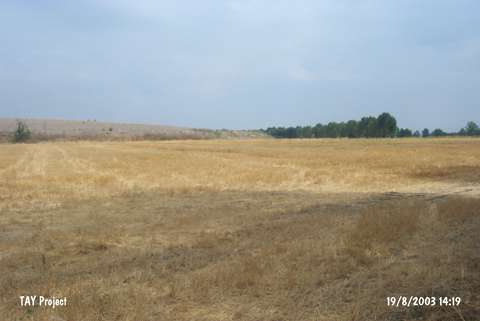 |
|
Type:
|
Mound |
|
Altitude:
|
615 m |
|
Region:
|
Black Sea |
|
Province:
|
Amasya |
|
District:
|
Merzifon |
|
Village:
|
Hayrettin |
|
Investigation Method:
|
Survey |
|
Period:
|
|
|
|
|
 |
|
| It is located 2 km northeast of Hayrettin Village; 7 km north of Merzifon District; Amasya Province. It was discovered during a survey conducted in 1998 by S. Dönmez. It measures ca. 15 m in height and 150x120 m in dimensions. Materials of the EBA; the MBA and the LBA as well as the Iron Age and the Hellenistic Period were collected from the surface. |
| Location: |
| Geography and Environment: |
| History: |
| Research and Excavation: |
| Stratigraphy: |
| Small Finds: |
| Remains: |
| Interpretation and Dating: |