| ©The Archaeological Settlements of Turkey - TAY Project | ||||||
|
|
||||||
Haral |
||||||
|
|
||||||
| Ages | Maps | Photos | ||||
| Palaeolithic/Epipalaeolithic |
 |
 |
||||
|
|
||||||
|
Type:
|
Single Findspot | |||||
|
Altitude:
|
680 m | |||||
|
Diameter:
|
m- Direction: | |||||
|
|
||||||
|
Region:
|
Southeastern Anatolia | |||||
|
Province:
|
Gaziantep | |||||
|
District:
|
Akçakoyunlu | |||||
|
Village:
|
Doganpinar | |||||
|
|
||||||
|
|
||||||
|
|
||||||
|
TAYEx:
|
Visited - 19/8/2001 | |||||
|
|
||||||
|
Registration State:
|
Registered For detailed registration information please refer to Turkish pages. | |||||
 |
||||||
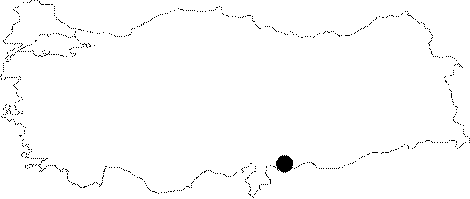
| Location: This open-air site is southeast of the city of Gaziantep; approximately 7 km north of the town of Akçakoyunlu; in and around the village of Doğanpınar (Haral); on the western side of the Secir Stream. |
| Geography and Environment: There are many flat-lying plains in southeastern Gaziantep by the Syrian border. |
| Destruction Details: |