|
©The Archaeological Settlements of Turkey - TAY Project
|
|
|
|
|
|
Haral |
|
|
For site maps and drawings please click on the picture... 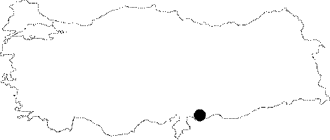 |
For photographs please click on the photo...  |
|
Type:
|
Single Findspot |
|
Altitude:
|
680 m |
|
Region:
|
Southeastern Anatolia |
|
Province:
|
Gaziantep |
|
District:
|
Akçakoyunlu |
|
Village:
|
Doganpinar |
|
Investigation Method:
|
Survey |
|
Period:
|
ÜP |
|
|
|
 |
|
| Location: This open-air site is southeast of the city of Gaziantep; approximately 7 km north of the town of Akçakoyunlu; in and around the village of Doğanpınar (Haral); on the western side of the Secir Stream. |
| Geography and Environment: There are many flat-lying plains in southeastern Gaziantep by the Syrian border. |
| History: |
| Research and Excavation: The site was discovered by R. Çiner during her 1950 surface survey in Gaziantep. It takes place in the registered archaeological sites list prepared by Ministry of Culture and Tourism. |
| Stratigraphy: |
| Small Finds: Çiner found one Aurignacien type flint tool (?) in and around the village of Haral. The exact provenience of the find is not given and it is not known whether it was in situ. The tool has been assigned to the Upper Palaeolithic Period. |
| Remains: |
| Interpretation and Dating: |