| ©The Archaeological Settlements of Turkey - TAY Project | ||||||
|
|
||||||
Aktopraklik Höyük |
||||||
|
|
||||||
| Ages | Maps | Photos | ||||
| EBA |
 |
 |
||||
|
|
||||||
|
Type:
|
Mound | |||||
|
Altitude:
|
490 m | |||||
|
Diameter:
|
m- Direction: | |||||
|
|
||||||
|
Region:
|
Black Sea | |||||
|
Province:
|
Sinop | |||||
|
District:
|
Gerze | |||||
|
Village:
|
Bolali | |||||
|
|
||||||
|
Destruction :
|
Illicit Digging - Agriculture | |||||
|
|
||||||
|
TAYEx:
|
Visited - 12/9/2003 | |||||
|
|
||||||
|
Registration State:
|
Registered For detailed registration information please refer to Turkish pages. | |||||
 |
||||||
| Location: |
| Geography and Environment: |
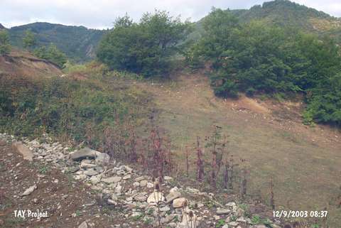
| Destruction Details: On the skirts and the surroundings of the mound are traces of illicit diggings and an electricity pole. The top of the settlement has been severely damaged by a pit measuring 2 m in depth and 3 m in width [TAYEx 12.9.2003]. |