|
©The Archaeological Settlements of Turkey - TAY Project
|
|
|
|
|
|
Aktopraklik Höyük |
|
|
For site maps and drawings please click on the picture...  |
For photographs please click on the photo... 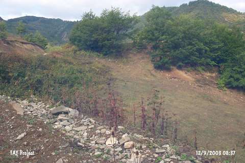 |
|
Type:
|
Mound |
|
Altitude:
|
490 m |
|
Region:
|
Black Sea |
|
Province:
|
Sinop |
|
District:
|
Gerze |
|
Village:
|
Bolali |
|
Investigation Method:
|
Survey |
|
Period:
|
|
|
|
|
 |
|
| The mound lies 200 m east of the Sarimsak Stream; 500 m west of Bolali Village; Gerze District; southeast of Sinop. It was discovered during the Sinop Survey conducted by M.A. Isin. It measures 4 m in height and ca. 30-40 m in diameter. It has been damaged due to illicit digging and heavy cultivation. Only limited number of sherds of EBA was collected from the surface. EBA pottery is of handmade; grit and plant tempered ware with a red interior surface and a black or beige or red exterior surface. It takes place in the registered archaeological sites list prepared by Ministry of Culture and Tourism. |
| Location: |
| Geography and Environment: |
| History: |
| Research and Excavation: |
| Stratigraphy: |
| Small Finds: |
| Remains: |
| Interpretation and Dating: |