| ©The Archaeological Settlements of Turkey - TAY Project | ||||||
|
|
||||||
Güneyli Liman |
||||||
|
|
||||||
| Ages | Maps | Photos | ||||
| EBA IA |
 |
 |
||||
|
|
||||||
|
Type:
|
Mound | |||||
|
Altitude:
|
15 m | |||||
|
Diameter:
|
m- Direction: | |||||
|
|
||||||
|
Region:
|
Marmara | |||||
|
Province:
|
Çanakkale | |||||
|
District:
|
Gelibolu | |||||
|
Village:
|
Güneyli | |||||
|
|
||||||
|
Destruction :
|
Contemporary Settlements - Attention | |||||
|
|
||||||
|
TAYEx:
|
Visited - 18/6/2000 | |||||
|
|
||||||
|
Registration State:
|
Registered For detailed registration information please refer to Turkish pages. | |||||
 |
||||||
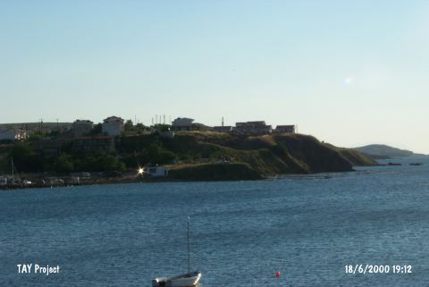
| Location: |
| Geography and Environment: |
| Destruction Details: The mound has completely vanished. Its surface is leveled and cemented in order to form a parking lot. The building and garden of Orfoz Motel to the southwest also seem to have been built over the settlement. The mound's soil removed during the leveling is piled to the north of the parking lot. A briquette hut is built on the southeastern skirt [TAYEx 18.6.2000]. |