| ©The Archaeological Settlements of Turkey - TAY Project | ||||||
|
|
||||||
Gümüsdere - Kilyos |
||||||
|
|
||||||
| Ages | Maps | Photos | ||||
| Palaeolithic/Epipalaeolithic |
 |
 |
||||
|
|
||||||
|
Type:
|
Habitation Site / Workshop | |||||
|
Altitude:
|
m | |||||
|
Diameter:
|
m- Direction: | |||||
|
|
||||||
|
Region:
|
Marmara | |||||
|
Province:
|
Istanbul | |||||
|
District:
|
Kemerburgaz | |||||
|
Village:
|
Gümüsköy | |||||
|
|
||||||
|
|
||||||
|
|
||||||
|
TAYEx:
|
- | |||||
|
|
||||||
|
Registration State:
|
For detailed registration information please refer to Turkish pages. | |||||
 |
||||||
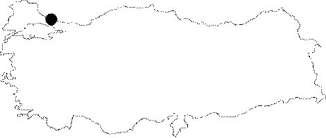
| Location: This site is 26 km north of Istanbul's Eminönü district; 4 km west of the town Kilyos; between Agaçli and Kilyos and 2 km northeast of the village of Gümüsdere/Gümüsköy. The site extends over a large area on the Black Sea shore which includes the dunes smaller than the Agacli dunes such as the Kilyos dune which is north of Kumköy and east of the Gümüsdere dune. Its survey code is 13 / 14. |
| Geography and Environment: The sand-dunes that collectively make up the site are sandwiched between the Black Sea to their north and forests to their south. The Domuzdere Stream Terraces and the sand-dunes on the banks of the narrow valley between the Domuzdere and Gümüsdere Streams yielded chipped stone tools. This area and the forested region south of it must have been climatically and environmentally very suitable for seasonal hunter-gatherers during the Ice Ages and in the later Holocene. Research reveals that; similar to the site of Agaçli; the oldest reddish sand-dunes with solidified deposits yielded the most finds. Although the newer yellowish dunes have been deposited over the older red ones; powerful winds have uncovered the oldest; solidified redder dunes; exposing Palaeolithic campsites. The campsites are less frequent here than at the Agaçli dunes. The finds include flint tools and debitage products. Some of the larger stones may have been used to support posts. If the older Gümüsdere dunes do not get destroyed by the coal mining activity in the region; many more Palaeolithic campsites may be exposed as the wind shifts the newer overlying dunes. |
| Destruction Details: |