| ©The Archaeological Settlements of Turkey - TAY Project | ||||||
|
|
||||||
Aktasovasi / Besiktepe |
||||||
|
|
||||||
| Ages | Maps | Photos | ||||
| EBA |
 |
 |
||||
|
|
||||||
|
Type:
|
Mound | |||||
|
Altitude:
|
70 m | |||||
|
Diameter:
|
m- Direction: | |||||
|
|
||||||
|
Region:
|
Marmara | |||||
|
Province:
|
Çanakkale | |||||
|
District:
|
Ezine | |||||
|
Village:
|
||||||
|
|
||||||
|
Destruction :
|
Natural causes - Agriculture - Contemporary Settlements | |||||
|
|
||||||
|
TAYEx:
|
Visited - 23/6/2000 | |||||
|
|
||||||
|
Registration State:
|
For detailed registration information please refer to Turkish pages. | |||||
 |
||||||
| Location: |
| Geography and Environment: |
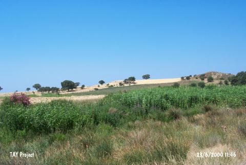
| Destruction Details: The surface of the settlement is planted. The northern and northeastern slopes are leveled to make fields. There is a construction site to the north of the mound [TAYEx 23.6.2000]. |