|
©The Archaeological Settlements of Turkey - TAY Project
|
|
|
|
|
|
Aktasovasi / Besiktepe |
|
|
For site maps and drawings please click on the picture...  |
For photographs please click on the photo... 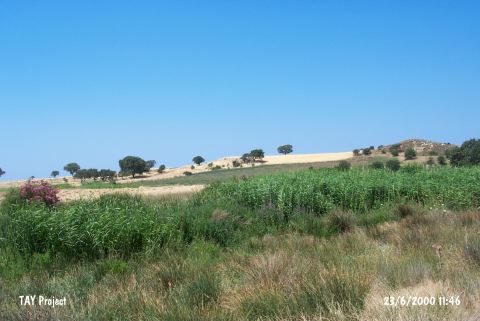 |
|
Type:
|
Mound |
|
Altitude:
|
70 m |
|
Region:
|
Marmara |
|
Province:
|
Çanakkale |
|
District:
|
Ezine |
|
Village:
|
|
|
Investigation Method:
|
Survey |
|
Period:
|
EBA II |
|
|
|
 |
|
| It lies on the Aegean shore; in the Aktas Plain shaped by the Ilica and Zurnaci streams; 10 km south of Geyikli; northwest of Çanakkale Province. The mound is located on a sheer cliff behind the narrow coast. Akçakeçi and Acidere streams flow to its north. It was discovered and excavated in 1859 by J. Calvert. Surveys carried out by J.M. Cook in 1959; then in 1969 by D.H. French yielded pottery dating from the EBA (Troy I-II). The potsherds belonging to Troy I and pre-Troy I were examined by D. Yilmaz. Among Troy I pottery, there are tripod cooking pots, bowls with internally thickened rims with often incised decoration and bowl with horizontal tubular lugs [Yilmaz 2015]. |
| Location: |
| Geography and Environment: |
| History: |
| Research and Excavation: |
| Stratigraphy: |
| Small Finds: |
| Remains: |
| Interpretation and Dating: |